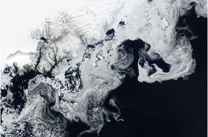
NASA’s Terra satellite captured floating fragments of sea ice as ocean currents carried them south along Greenland’s east coast on June 4, 2024.
This ice traveled from the Fram Strait, a 450-kilometer (280-mile)-wide passage between Greenland and Svalbard, to the Arctic Ocean. Along the journey, it breaks into smaller pieces and starts to melt in warmer ocean waters, creating the wispy patterns seen in the image.
Citation:
NASA satellite returns image of sea ice swirls (2024, June 13)
retrieved 13 June 2024
from https://phys.org/news/2024-06-nasa-satellite-image-sea-ice.html
This document is subject to copyright. Apart from any fair dealing for the purpose of private study or research, no
part may be reproduced without the written permission. The content is provided for information purposes only.


