A new study from GNS Science marks a significant step in the assessment of environmental contamination in Aotearoa New Zealand’s capital.
The Urban Geochemical Atlas of Wellington provides the first baseline of the concentrations of elements in the near-surface soils of the Wellington region, highlighting where human activities have increased levels of heavy metals and other elements.
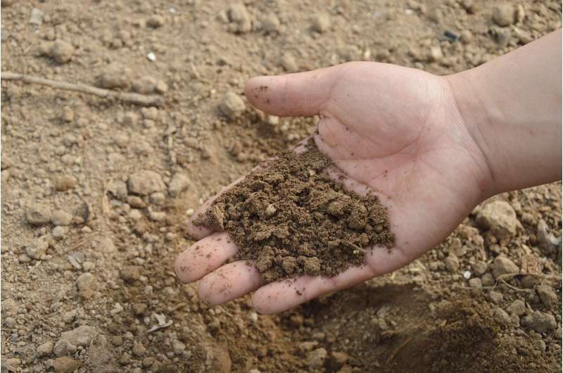
Researchers from GNS Science have measured the concentrations of 65 different elements in the soils across the Wellington region, excluding most of the Wairarapa and Kāpiti Coast.
Soil samples were taken from more than 150 sites for the study, from a mixture of public and privately-owned land. The results are presented in a series of maps. They can be used to help identify potential localized health and environmental impacts of contaminants, and to target mitigation and remediation efforts.
Several of the elements included in the atlas are metals that, in certain concentrations, can be hazardous to human health, including arsenic, cadmium, chromium, copper, mercury, nickel, lead, and zinc.
The occurrence of these metals in the soils across the country typically varies due to differences in underlying rock types, environmental conditions and human influence. However, Regine Morgenstern, GNS Science geologist, says that as the geology in the study region is relatively uniform, it’s not a significant factor influencing the elevated levels of these heavy metals found in some Wellington soils.
“The data reveals human influences on soil chemistry across the area, and this can also be clearly seen in the maps. For example, the map for lead shows the highest concentrations across much of the more densely developed areas, particularly around Wellington Harbor and the Hutt Valley, where a lot of old housing stock exists.”
Morgenstern says that it is not unexpected to find elevated levels of heavy metals in highly populated areas.
“This is common in cities worldwide, with possible sources including pollution from industrial processes, leaded petrol from our past, disposal of fossil fuel residues and household waste, and the deterioration and removal of lead-containing paints from older houses.”
The Ministry for the Environment (MfE) issues New Zealand’s soil contaminant standards for health. The standards set out the acceptable concentrations of heavy metals in soil, categorized by land use, with the most restrictive category assigned for rural residential or lifestyle blocks.
The study found some sample sites that exceeded the most restrictive thresholds for arsenic, lead and cadmium, with several samples exceeding standards set for high-density residential land use. Median lead values in Wellington soil are significantly higher than those found in New Zealand soils in general, but are below median values observed in urban soils
in Dunedin City.
The sample spacings and interpolation technique used to construct the maps provides relatively low spatial resolution, but offers a good guide for where more detailed study at higher spatial resolution may be warranted.
Morgenstern said that although residents may be concerned if they learn their home is located within an area shown in the atlas to have elevated heavy metals, the maps cannot be used to pinpoint element concentrations for individual properties.
“We know that even within one property, concentrations can vary. Lead levels might be higher closer to a house where there has been an accumulation from leaded paint, and then lower in the vegetable garden. The estimated element concentrations are indicative only and how representative the estimates are for any site can only be confirmed with further
sampling and analysis.”
Anyone interested in finding out more about the levels of heavy metals in their backyard can send a sample to the free soil-testing service Soilsafe Aotearoa. GNS Science helped to establish this service, which is run by the University of Auckland.
The atlas is the latest publication in GNS Science’s ongoing work mapping geochemical soil variation across Aotearoa New Zealand. It follows the recent release of a national atlas, and other localized studies including Dunedin and Auckland cities, Southland, Nelson-Marlborough and Otago.
GNS Science Environment and Climate Theme Leader, Giuseppe Cortese says these studies are an important addition to the wider work that GNS Science undertakes to quantify the contaminants present in our air, freshwater, ocean and soil, and to understand how these contaminants move through our environment.
“It can be confronting to see the impact that human settlement and urbanization has had on Wellington’s soils, and the heavy metals that have accumulated as a result of our activities. The atlas provides important information about the location and concentration of key elements so that we can monitor them, apply remediation measures if necessary, and manage their movement today.”
“The data also offers a starting point from which we can explore and model how these elements may move through our environment in the future. This is particularly important in the Wellington area where projected population increases will result in further urban densification,” says Cortese.
Citation:
Maps of heavy metals in Wellington, New Zealand soils show impacts of urbanization (2024, June 9)
retrieved 9 June 2024
from https://phys.org/news/2024-06-heavy-metals-wellington-zealand-soils.html
This document is subject to copyright. Apart from any fair dealing for the purpose of private study or research, no
part may be reproduced without the written permission. The content is provided for information purposes only.


