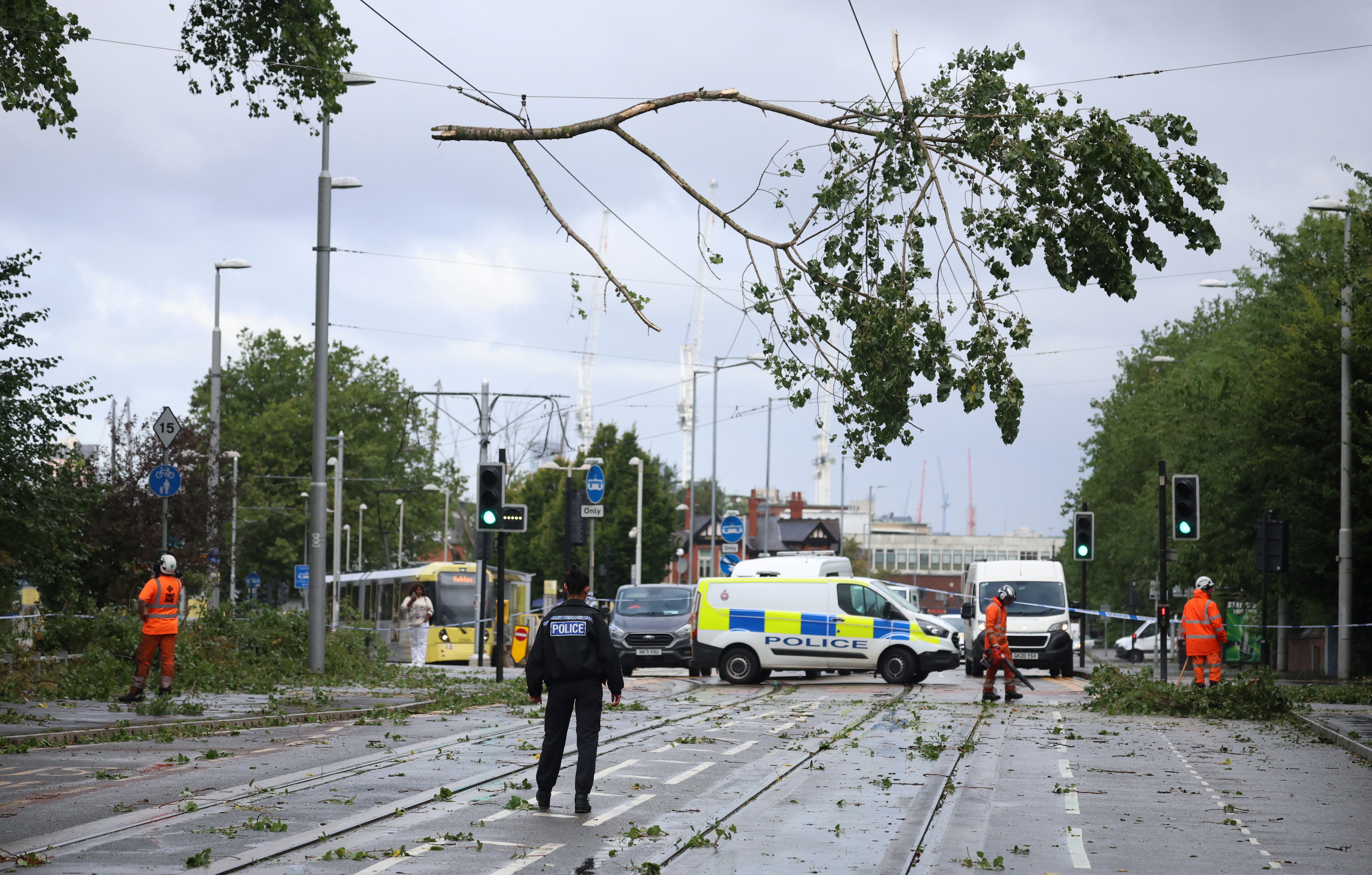
Heavy rain is set to cause a miserable start to the bank holiday weekend for much of England after Storm Lilian caused widespread disruption.
The storm brought winds of at least 70mph as it battered northern parts of England and Wales on Friday, disrupting flights and other journeys.
Thousands of homes in Cheshire were plunged into darkness as the wind and rain wreaked havoc.

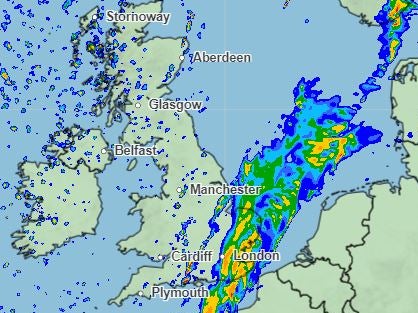
Met Office forecasters said more downpours will cause travel disruption and localised flooding on Saturday morning in the South and South East of England, with central areas also facing a wet start to the weekend.
Elsewhere, there will be heavy showers but also some bright or sunny spells, the experts said, while northwestern areas and possibly the extreme southeast of England will suffer high winds.
Met Office chief meteorologist Matthew Lehnert said: “The weekend’s weather will start on a damp note for southern and eastern England, with 15-30mm of rain likely to fall in the warning area quite widely, with 50-70mm possible in a few spots where heavier bursts of rain converge.
“Rainfall intensity will decrease in the afternoon, leaving some showers in southern England, as well as further showers in the northwest.”

Normally on the late August bank holiday weekend, sun-lovers flock to parks and beaches across the country, but temperatures will be a little below average for many.
In Brighton, Saturday will be wet with temperatures up top 19C, but Sunday will be dry and temperatures will rise into the 20s from Monday.
Blackpool could avoid most of the rain, with some showers on Sunday, but temperatures will remain below 20C.

On Sunday high pressure is expected to sit across the south, bringing hazy, sunny spells but cloud and rain will spread across the north.
By Monday, most of the country should be enjoying dry weather.

Deputy chief meteorologist Dan Holley said: “Beyond Saturday, many southern and eastern areas will be largely fine and dry through the remainder of the long weekend, with temperatures initially below average but recovering a little by Monday.
“However, it will remain cooler with more cloud and occasional rain or showers in more northwestern areas, with some heavy rain likely on Sunday in parts of Northern Ireland, southwest Scotland, northwest England and north Wales.
“This may also be accompanied by some fairly brisk winds at times.”
There are signs that warmer conditions will develop next week in central and eastern areas in particular, with the possibility of some hot weather for a time, he said.
Storm Lilian
On Friday, a yellow wind warning was in place across northern England and north Wales until 11am.
Leeds Festival organisers were forced to delay the event’s opening because of havoc caused by Storm Lilian.
Storm season, which runs from September to the following August, has only reached K twice since the Met Office began naming storms in 2015.


